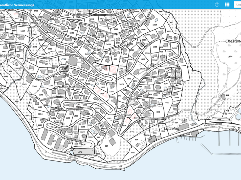
New Map Application in the Canton of Lucerne’s Geoportal
Lucerne - The Canton of Lucerne has modernized its geoportal by introducing a new, user-friendly map application. Enhanced functionality, sharp map displays, and mobile optimization make it a powerful tool for professionals and private users in planning and analysis.
The Canton of Lucerne’s geoportal offers a comprehensive platform for spatial information. The newly launched map application has been completely revamped, featuring a modern design, increased space for map displays, and innovative functions. Users can now combine related topics within a single map, enjoy high-resolution base maps with scales of up to 1:100, and benefit from an improved elevation profile function.
Optimized for mobile devices, the new application also integrates public landowner inquiries directly into the system. It facilitates seamless transitions between web maps and specialized applications such as the ÖREB cadastre. Additionally, all data displayed on web maps can be easily accessed and freely used.
With its new standard map application, the Canton of Lucerne intelligently consolidates its geodata offerings, providing an improved user experience and enhanced support for professionals and private users alike in planning and decision-making processes.
Further information is available on the Canton of Lucerne’s geoportal platform.
Source: Press release Kanton Luzern

